The European satellite program “Copernicus” offers new chances for innovative ideas and products. It provides information based on a new combination of satellite data, terrestrial observation systems and databases. This enables to react more efficiently to new challenges for example climate change, to optimize processes in application industries of GeoIT and to open up emerging markets. Copernicus data are provided for free according to the open data concept of the EU and still the potential of Copernicus isn’t tapped to the fullest.
The cooperation network “CopServ” wants to change this and to initiate technological developments and to realize marketing activities as well as to use synergy effects inside the network for future-oriented solutions and products.
At the informative meeting experts from the network CopServ as well as specialists from various client industries show which solutions are worked out so far, which requirements result from industry-specific processes and which trends and developments arise around the topic Copernicus.
Following topics are on the agenda:
Copernicus – access points: access platforms and technologies for free usage
ICT: CloudComputing, big data, data mining, senor networks and senor data fusion, specific data analysis
Industry applications: practical examples from water economy, energy economy, mining/post-mining, agriculture, nature conservation and environment protection and public administration
Agenda – preliminary
| 2:00 pm |
Tools and instruments
|
| About the role of trust in networks |
Reinhard Mohn Institute of Management
|
| Usage of Copernicus data – Access points – GeoMarketplace | Dr. Manfred Krischke, CloedEO AG
|
|
3:00 pm
|
Real life examples
|
| Project report „AQUISS – Air quality forecast for cities and urban agglomerations“– Usage of Copernicus for surveillance of the air quality – also potentials for further usages?
|
Hermann-Josef Heich, Heich Consult GmbH |
| Agricultural Monitoring – Field crop early recognition on the field level and harvest modelling | Dr. Fabian Löw, MAPTAILOR Geospatial Consulting GbR |
| Bio mass monitoring | Dr. Andreas Müterthies, EFTAS GmbH |
|
4:00 pm
|
Industry applications
|
| Industry applications | Company / Institute |
| Mining/Post-mining – Geo monitoring in old and post-mining | To be confirmed
RWE Power, Hr. Weyand (lo) Respectively RAG / Emschergenossenschaft (Goerke-Mallet)
|
| Energy/Renewable Energies
Electric line monitoring |
TBC: OpenGrid Europe, Hr. Meyer
Respectively—PLEdoc / IMP/ Amprion (C. Lipinski) |
| Agriculture | TBC: BayWa – Farmfacts, Hr. Herbinger |
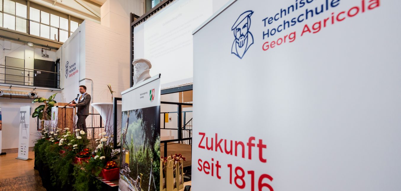
The event takes place at the Technischen Hochschule Georg Agricola, Hernerstraße 45, 44787 Bochum.
If you have any questions you can contact Simone Stangier, sr@zenit.de, Phone: 0208/30004-75. For application please send an email to sr@zenit.de.